


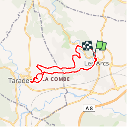

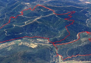
15.4 km | 22 km-effort

User


FREE GPS app for hiking
 SityTrail
IGN / Geographical institutes
SityTrail World
The world is yours!
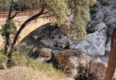
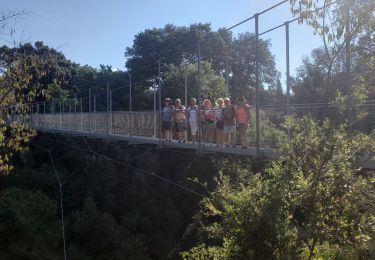
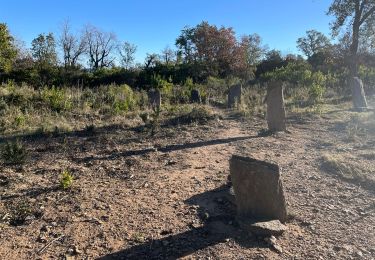
Trail Walking of 15.2 km to be discovered at Provence-Alpes-Côte d'Azur, Var, Les Arcs-sur-Argens. This trail is proposed by Sugg.
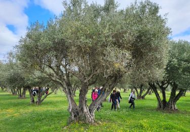
11-02-15 Rando avec Restons en Forme Draguignan.
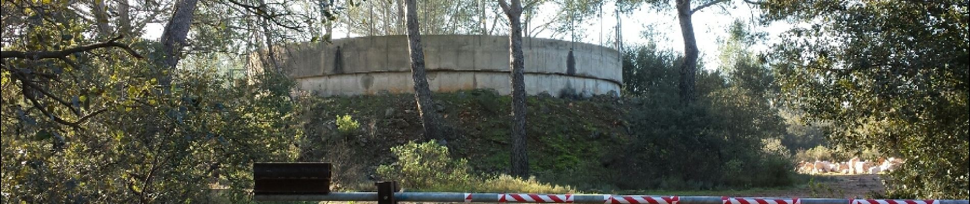
Très beau temps, belle balade avec au retour la visite du quartier médiéval du Parage des Arcs sans oublier le raccourci " sportif " de l'Oppidum vers la Tour de Taradeau.


Walking

Cycle
Walking
Walking

Walking
Walking

Walking
Walking

Walking